Important Information on Oklahoma’s Small Flood Control Dam Infrastructure
For Energy & Development Companies Planning a Project in Oklahoma
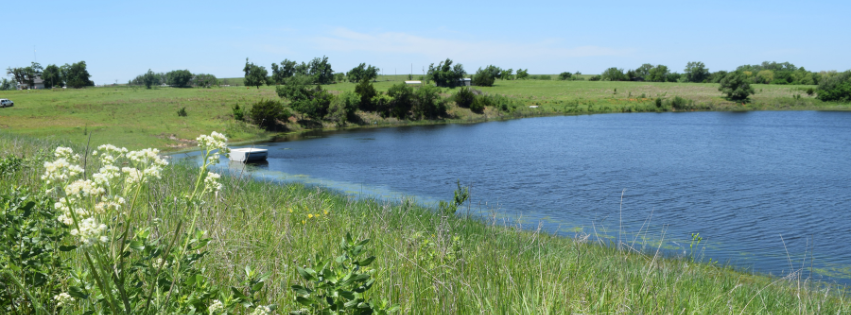
Energy infrastructure projects, oil and gas exploration and development, land development, seismic testing, and other infrastructure and construction projects are in full swing in Oklahoma. These companies need to be aware of the locations of Oklahoma’s 2,107 small flood control dams, as well as channel projects, conservation practices, and works of improvement. A majority of the small flood control dams in Oklahoma are operated and maintained by a conservation district (Project Sponsor) through perpetual easements acquired in the late 1940s through the late 1980s. Unfortunately, a majority of energy, environmental, and development companies are failing to locate these easements when conducting their title searches. This failure usually results in conservation districts’ learning of the project through an Okie Call ticket late in the progression of the project, thus resulting in expensive problems and/or delays for the company and stress on the districts.
To protect conservation districts’ easement rights, protect our vital flood protection infrastructure, and clarify priority rights, I would encourage all development & energy companies to review the information on this website. In addition, contact the Oklahoma Conservation Commission to access and utilize the flood control GIS layer of the 2,107 flood control structures when planning a project. For general questions or to receive a copy of the GIS layer, please contact Janet Stewart at (405) 742-1240 or email her at janet.stewart@conservation.ok.gov.
Any specific questions regarding a dam should be made to the conservation district responsible for the dam’s operation and maintenance, please see the Conservation District – Map & Directory link below for the conservation district’s contact information.
Important Links:
Fact Sheets
- How a Watershed Dam Works
- Landowners with Watershed Dams on Their Land
- Development Downstream from Flood Control Dams — A Growing Concern for Watershed Project Sponsors
- Actions Watershed Project Sponsors Should Take When an NRCS-Assisted Flood Control Dam is Reclassified as High Hazard
Conservation Districts – Map and Directory