Banks Flooding on Washita River, Flood Control Dams Fully Functional
Photos captured April 17, 2015.
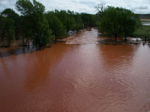
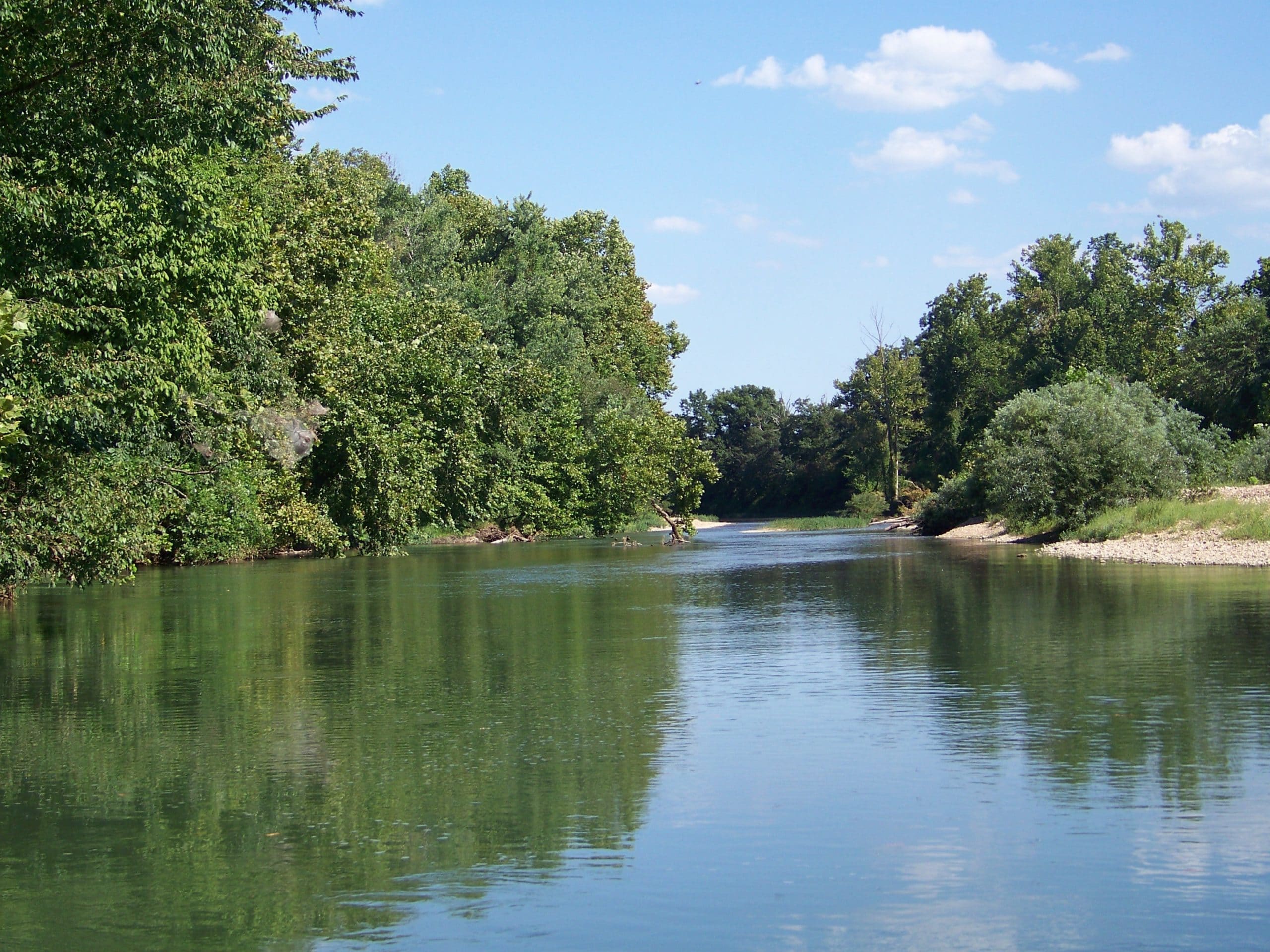
its banks north of Cheyenne, OK in Roger Mills County.
Upper Washita Conservation District in Roger Mills County reports flooding along the Washita River. The district reports flood control structures are functioning as designed—trapping large volumes of water and slowing it as it makes its way downstream.
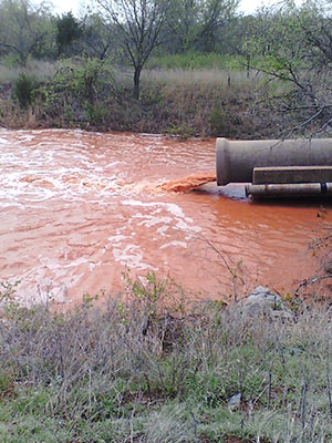
Washita Dam #59 is slowly released downstream by the principal spillway.
Over six inches of rain since April 12 is challenging the region’s drought damaged soil. According to the US Geological Survey (USGS), one inch of rain is equal to about 27,154 gallons of water per acre. Extremely dry soil is highly erodible and absorbs water much slower than healthy soil.
Roger Mills County is home to 143 flood control structures. In total, Oklahoma’s conservation districts operate and maintain 2,107 flood control structures across the state. Prior to their construction beginning in the 1950s, many parts of Oklahoma flooded regularly.
Oklahoma’s flood control structures provide $82 million in annual benefits which include flood water impoundment, water supply, recreation, wildlife habitat and firefighting.